
#14 of 626 · Things to do in Hamburg
Alster
Sign up free — See who's going and message them.
About
Alster is a river that flows through Hamburg into the Elbe. Its best-known stretch is an artificial lake in the city centre, formed by the Außenalster and smaller Binnenalster beside Jungfernstieg and the town hall.
Why go
- The Alster was dammed for a watermill; the dam later became Reesedamm, then widened into today’s Jungfernstieg.
- Canoe, kayak or walk along the river’s banks in its upper reaches.
Walking route
Don't miss
- Barlach memorial reliefThe 1931 war memorial features Ernst Barlach’s “Trauernde Mutter mit Kind” relief. Removed during the Nazi period, it was reconstructed in 1949.Schleusenbrücke
- Passage between the lake basinsThe Binnenalster and Außenalster connect through a passage beneath Lombardsbrücke and Kennedybrücke.Beneath Lombardsbrücke and Kennedybrücke
Tips for your visit
- Rowboats and paddle boats can be rented along the river throughout Hamburg.
- For canoeing, kayaking and walks along the riverbanks, explore the Alster’s upper reaches.
Interesting facts4
Shorts
-
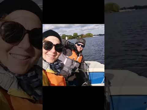 Segeln in Hamburg auf der AlsterCorinna&Robert
-
 Is Hamburg’s Alster the City’s Best Summer Escape?Walk with Rosie
-
 Walking around Hamburg Alster in GermanyWalk with Rosie
-
 Die Alster - ein See, der keiner istHamburg Histories
-
 Wusstest du .. AlsterMats
-
 Niemand spricht über DAS – Hamburg an der AlsterFunFizzTube
-
 Scary Rain Shock Flooding Hamburg Alster Short Fun Superregen? Kajak …ZEEYOO
-
 Warum hat er aber geschrien?xserkis
History
The mill dam became known as Reesedamm after a later mill tenant; widening eventually turned it into today’s Jungfernstieg. Barges carried building materials, fuel and food along the river until the 19th century.
- 9th c.Hamburg was founded at the Alster’s mouth and used the river as a port.
- 1190The river was dammed to power a watermill.
- 1235Graf Adolf IV of Schauenburg and Holstein dammed the river to power a large grain mill, creating the Alster lake.
- 15th c.Canalisation of the upper Alster aimed to create a direct water route between Hamburg and Lübeck.
- 1529–1550The canal was navigable, but difficulty maintaining its water level ended its use.
Show all
- 1616–1625Hamburg’s fortifications divided the lake into the Außenalster and Binnenalster.
How to get there
- BoatAlster ferries provide public and tourist transport on the river in Hamburg.
- TrainUse Jungfernstieg station, served by S1, S3, U1, U2 and U4, with direct access to the main Alster boat landing.
Sources: Alster - Wikipedia · Alster - Wikipedia · Alster (rivière) - Wikipedia · checked 1 Oct 2026
Where
Alsterufer, Hamburg
Questions and answers
Where does the Alster begin?
It rises in a small bog pool near Henstedt-Ulzburg, about 25 kilometres north of Hamburg.
How far upstream is the Alster navigable?
It is navigable for about nine kilometres upstream from its mouth.
Where does the name Alster come from?
The river was recorded as “Alstra” in the late 11th century. The spelling “Alster” appeared in the 15th century.
How invme works
- See who's going — faces, not ticket counts.
- Write to someone who shares your interests — no swipes, no matches, no paywall.
- Pick the event or the place to meet at — and go together.
Reviews on invme
Sign in to reviewLoading comments…