


Mount Ainslie Lookout
Sign up free — See who's going and message them.
Is this your place? Get the badge for your websiteAbout
Mount Ainslie Lookout is a summit viewpoint in Canberra Nature Park, in Canberra’s northeastern suburbs.
More photos 9
1 / 9


Why go
- Walter Burley Griffin’s planned land axis through Canberra ends at the summit.
- Trail plaques commemorate World War II battles on the Kokoda Trail in Papua New Guinea.
- An air beacon at the summit guides air traffic towards Canberra Airport.
Opening hours
Today00:00 – 23:59Show all
Monday00:00 – 23:59
Tuesday00:00 – 23:59
Wednesday00:00 – 23:59
Thursday00:00 – 23:59
Friday00:00 – 23:59
Saturday00:00 – 23:59
Sunday00:00 – 23:59
What you see
- The 360-degree panorama takes in Canberra, rural ACT and much of New South Wales, with Red Hill to the south and Black Mountain to the west.
- The planned land axis runs through North and South Canberra, linking the Australian War Memorial and the old and new Parliament Houses.
Best time to visit
- The views are especially striking towards sunset.
Photo spots
- Summit lookoutA summit vantage point for photographs of Canberra.At the summit, on Mount Ainslie Drive
Facilities
- Water tap At the summit.
- Ice cream and souvenir vendor Sometimes visits by vehicle.
Shorts
-
 Mount Ainslie Lookout Canberra | Best Sunset View in ACTAustralia 4K Walks & Drives
-
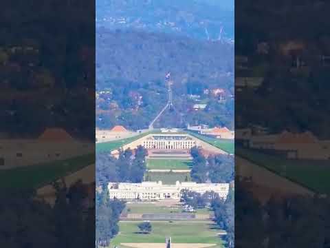 Canberra, a carefully crafted city viewed from Mount Ainslie lookoutAussie Life
-
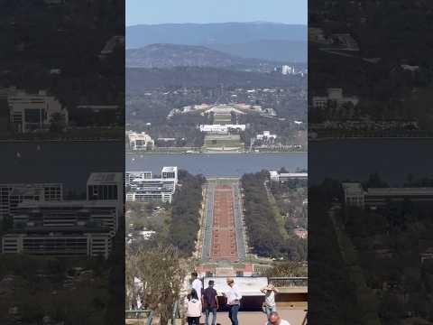 Mount Ainslie Lookout, Canberraমেলবোর্ন থেকে
-
 Mount Ainslie Lookout _ Canberra ACTPrime_7
-
 Mount Ainslie Lookout, CanberraRoong Chandee
-
 🌅 Canberra’s Most Beautiful Sunset | Mount Ainslie LookoutAustraliaexplorer2026
-
 Mount Ainslie Lookout, Canberraalishehzadpaul
-
 Parliament House ACT Canberra 2023 Mount Ainslie lookoutExploring Australia
History
Ngunnawal and Ngambri people consider the hill sacred, primarily for women's business. They refer to Mount Ainslie and adjacent Galambary as women's breasts.
- Silurian periodMount Ainslie formed as an extinct volcano about 425 million years ago.
- 19th centuryThe hill was named after James Ainslie, a settler who managed the Duntroon estate.
How to get there
- CarMount Ainslie Drive, Canberra ACT; vehicle access is via Fairbairn Avenue.
- On footThe paved summit trail starts behind the Australian War Memorial and has rest stops and steps.
Accessibility
- Summit walking trail The paved trail includes steps.
Sources: Mount Ainslie - Wikipedia · Canberra - Wikivoyage (see) · Mount Ainslie - Wikipedia · Mont Ainslie - Wikipedia · checked 28 Sep 2026
Where
Mount Ainslie Drive, Canberra Australian Capital Territory
- Phone
- 0262050255
Questions and answers
When is Mount Ainslie Lookout open?
The lookout is open 24 hours every day.
Which suburbs are near Mount Ainslie Lookout?
Campbell, Ainslie and Hackett.
Were changes proposed for the Mount Ainslie summit?
A 2016 design competition proposed parking, signs, picnic areas, lawns and plantings.
Is James Ainslie buried at the base of the hill?
He is not buried in an unmarked grave there.
How invme works
- See who's going — faces, not ticket counts.
- Write to someone who shares your interests — no swipes, no matches, no paywall.
- Pick the event or the place to meet at — and go together.
Reviews on invme
Sign in to reviewLoading comments…